I Really Doubt I Needed to Make a Map of Port Henry's Subway System...

The most amusing thing is it's actually still under development. The version I'm working on actually has rerouted some of the lines and given some thought to peak hours service. And I'll need to come up with street names. This probably isn't something that'll actually get any use in our campaign, it's more a function that I'm (1) having fun making a fictional city; (2) have a bit of break between game sessions; (3) love maps; and (4) had a career ambition of being a subway motorman once upon a time. One of my favorite things was going on trips to all sorts of interesting places with my grandfather on the New York City subway. I thought it was so amazing how we could walk a few blocks on Avenue W, take a right onto East 16th Street, a left onto Neck Road and we'd be at the subway station which could take us anywhere in the city. On our walks to the station my grandfather would tell me all sorts of interesting things - bits of what the city used to be like decades earlier, how my mother would get to school when she was a girl, tidbits about where we were going, etc. Once on the train I'd hope to get my spot at the front so I could stand at the window on the front door and see where we were headed. My grandfather introduced me to subway maps which we could use to plan our excursions. Originally we used the Vignelli map of the 1970s:

Vignelli was not a fan of relying on subway maps having a strong geographic bias - he felt their usefulness was in showing you how to traverse the subway system. While his map works well in that matter, it greatly distorted geography. It was very unpopular - my grandfather, for example, hated it. He much preferred the new map which debuted in 1979:

I have to confess that over time I've come to prefer the Vignelli map - in our home office I actually have a reprint of the Vignelli map hanging up (along with maps of colonial New York City).
Actually, working on my maps did have some impacts on the game.
First, even before one of the players in our group brought it up, I knew I had to think of some reason why Port Henry even has houses with basements, much less the ability to have a subway system and skyscrapers. Building a city over a swamp does not really give much an opportunity for that. There's two things going through my mind on that front... I decided one of the first, if not the first, Golden Age superhero was some superhero based on, if not actually some sort of avatar of, the Norse god Thor. One who went Nazi in the war. I'm thinking Port Henry lies at some sort of dimensional nexus and is greatly influenced by the metaphysical nearness of Nildavellir, the Norse underground realm of the Dwarfs, giving a layer of solid bedrock under the swamp - one that should not have been there. I also think Deep Ones may an abandoned city carved out of this bedrock.
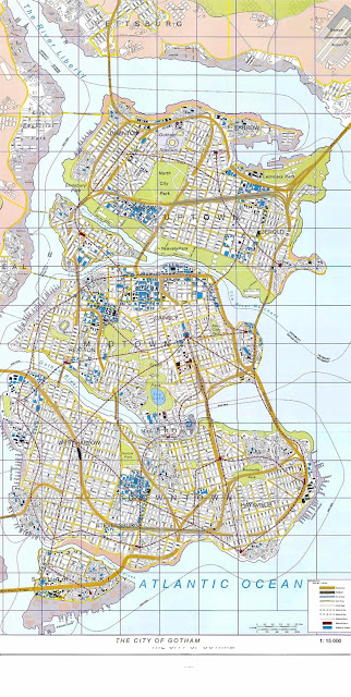
Also, the public transportation situation in the city helped lead to the loss of its National League baseball team. The red line in my subway map represents a monorail line above the city. Two of those stops are at the ballparks for the National League and American League teams of the city. The NL ballpark is in a rundown area of the city and the new owners of the team wanted to move it to another location. But given the investment in routing the monorail to stop at the ballpark the city would have nothing to do with such a move - causing the team to join the Giants and Dodgers in moving west - da bums! If some crazy supervillain were to want to use the ballpark as a lair. Well, he's got opportunity...


Comments
Post a Comment